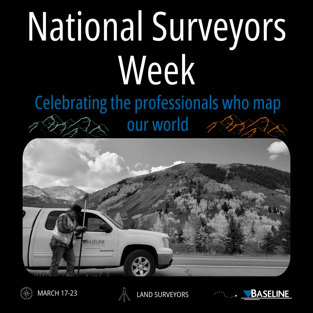
National Surveyors Week (March 17-23) honors land surveyors for their great contributions to our community. Land surveyors play a crucial role in ensuring effective land use planning, construction, and development. Their precise measurements and comprehensive mapping contribute to useful urban planning, environmental monitoring, and sustainable land use. In celebration, Baseline sent out surveys to hear more of our survey team’s insights and experiences.
Baseline’s surveyors shared diverse perspectives on the rewarding aspects when asked about what they find the most fulfilling in their profession. David Wilson highlighted the enjoyment of land surveys and the historical significance of retracement, while Matt Miller emphasized the excitement of each project as a new adventure, and Jason Hawley pointed to the fulfillment of building client relationships with general contractors. James Timblin found reward in working in unique places and contributing to large-scale projects. Doug Lancaster said, “The most rewarding is working on a boundary that was created in the mid to late 1800s and being able to agree with the descriptions and monuments that were set. It doesn’t always work out that way, but when it does, you know you are following in their footsteps.”
In terms of challenges in the profession, surveyors acknowledged sales competition with companies having less overhead adapting to the rapid changes in surveying technology from chain and transit to GPS and drones. Surveyors talked about the cost and work of keeping up with the industry’s up-to-date, ever-changing technology. Matt Miller expanded by saying “Weather is always a factor and always has been. It challenges the way we approach a project and need to solve problems. Technology is always changing and so keeping up with the competition is always a challenge because it’s always evolving.” Sharing insights into challenging, unique projects, Matt Miller said, “I think every project is unique in its way so being able to approach each day with a flexible point of view always helps us to complete a project.”
When asked about their favorite change or technological advancement they’ve observed in the land surveying profession, David Wilson expressed appreciation for GPS, drones, sonar, and CAD, while also appreciating traditional tools like a compass and quad map that don’t require electricity. Doug Lancaster stated, “The use of drones. A picture is worth a thousand words. Your brain can process images 60,000 times faster than it can process words (works for me).” Matt Miller found the evolution of surveying technology fascinating, particularly the ability to 3D map projects with LiDAR and the efficiency of drones. Jason Hawley expressed, “At this point in my career, I am seeing a younger generation of general contractors on job sites, and they look to us for knowledge and experience.”
These insights collectively provide a comprehensive view of the diverse experiences, challenges, and technological advancements within the surveying profession at Baseline.


